Planning & Engineering Design

Geomatiker/in EFZ

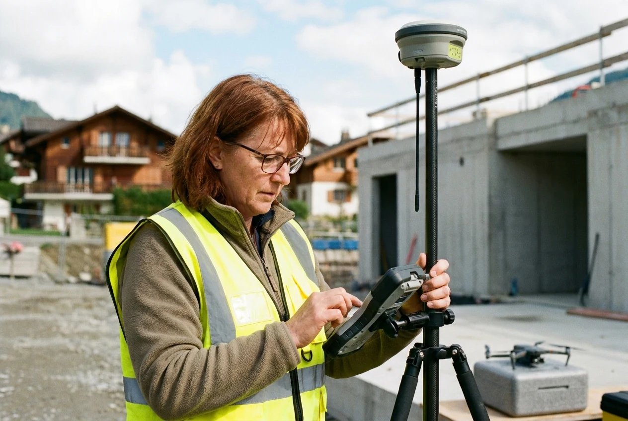
Measure the world and digitise it with precision.

Geomatiker/in EFZ

01 · Overview

What this profession is about

Geomatiker/in EFZ professionals capture field data, create digital maps, and support construction and environmental projects using GIS.

You combine technology, nature, and digital data. Outdoors, you capture precise field data using modern equipment. In the office, you process this data into digital maps and 3D models. Your work forms the basis for construction projects, urban planning, and nature conservation. With expertise in geographic information systems and surveying technology, you actively shape the spatial future.

FieldPlanning & Engineering Design
Education pathVocational Training (Apprenticeship)
IndustryPlanning & Civil Engineering
Swissdoc 0.410.13.0

02 · Salary

What you can earn

MedianCHF 70'000
CHF 50'000CHF 111'243
✓ Exact salary match
Salaries reflect Swiss market data. Range covers entry to senior. Salary reference based on Geomatician. Based on 468 observations, updated 7 months ago.

Salary by experience

60k70k80k90kmedian 70k62k66k70k76k83k92k0-2 yrs3-5 yrs6-8 yrs9-11 yrs12-21 yrs21+ yrs
View as table
ExperienceSalary (CHF)
0-2 yrsCHF 62'140
3-5 yrsCHF 65'561
6-8 yrsCHF 70'000
9-11 yrsCHF 76'440
12-21 yrsCHF 83'100
21+ yrsCHF 91'692

Salary trend

-4% over decade
70k75k76k69k70k73k2014-20162017-20192020-20222023-2025
View as table
PeriodSalary (CHF)
2014-2016CHF 76'000
2017-2019CHF 68'900
2020-2022CHF 70'000
2023-2025CHF 72'725

Top earning cantons

  • FribourgCHF 80'57419 obs.
  • LucerneCHF 73'50017 obs.
  • St. GallenCHF 72'65027 obs.
  • VaudCHF 71'99168 obs.
  • ZurichCHF 70'77266 obs.
  • ValaisCHF 70'26216 obs.
View as table
CantonSalaryObs.
FribourgCHF 80'57419
LucerneCHF 73'50017
St. GallenCHF 72'65027
VaudCHF 71'99168
ZurichCHF 70'77266
ValaisCHF 70'26216

Top paying industries

  • Transport / LogisticsCHF 91'9905 obs.
  • UtilitiesCHF 80'07544 obs.
  • Public administration / AssociationsCHF 78'00025 obs.
  • Industry variousCHF 74'0006 obs.
  • Building trade / Real estateCHF 69'000306 obs.
  • Commercial operation / Skilled craftsCHF 67'60013 obs.
View as table
IndustrySalaryObs.
Transport / LogisticsCHF 91'9905
UtilitiesCHF 80'07544
Public administration / AssociationsCHF 78'00025
Industry variousCHF 74'0006
Building trade / Real estateCHF 69'000306
Commercial operation / Skilled craftsCHF 67'60013

03 · Pathway

How to enter and grow

  • 🎓 Geomatiker/in EFZ
  • 4 Jahre

Official education path

The training lasts 4 years and combines workplace practice with block courses at the vocational school.

Typical training path

Geomatiker/in EFZ

Curriculum

  • Umsetzen von Aufträgen und Erbringen von Dienstleistungen
  • Beschaffen von Geoinformationen
  • Strukturieren, Organisieren und Verwalten von Geodaten
  • Ableiten und Erstellen von Produkten auf der Grundlage von Geodaten
  • Wiedergabe von Geoinformationen

Prerequisites

  • obligatorische Schule abgeschlossen

Requirements

  • good spatial imagination
  • logical thinking
  • quick comprehension
  • good observation skills
  • disciplined, very precise and careful working method
  • enjoyment of outdoor work and weather resistance (especially for the Surveying specialisation)
  • interest in computer science (especially for the Geoinformation specialisation)
  1. 1Umsetzen von Aufträgen und Erbringen von Dienstleistungen
  2. 2Beschaffen von Geoinformationen
  3. 3Strukturieren, Organisieren und Verwalten von Geodaten
  4. 4Ableiten und Erstellen von Produkten auf der Grundlage von Geodaten
  5. 5Wiedergabe von Geoinformationen

Where this can lead

Career changers can enter the field if you have related technical or IT knowledge.

04 · Skills & fit

What it takes

Required skills

  • Spatial thinking
  • Careful working method
  • Technical affinity
  • Weather resistance

Personality fit

  • Swiss career path
  • Career transition
  • Professional growth

05 · Daily reality

What the work feels like

Typical day

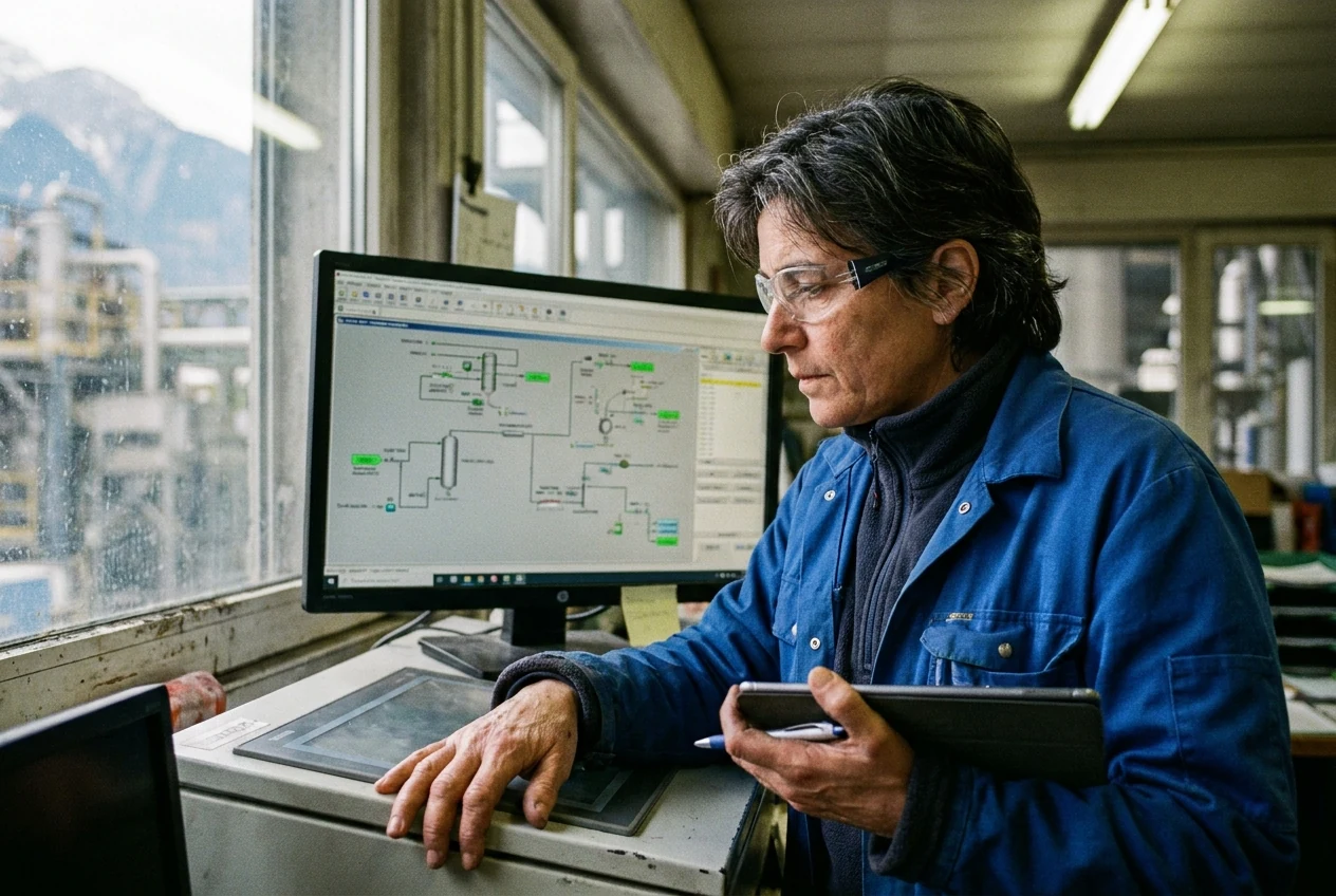
You stand at the survey point outdoors and carefully align your device to capture heights and boundaries exactly. Back in the office, you upload the data into the GIS and check the results for completeness.

  • You capture field data using modern surveying equipment and drones.
  • You organise measured values in digital geodatabases.
  • You create thematic maps and digital terrain models for planning assignments.
  • You advise clients on technical and legal requirements.
  • You check the data for accuracy and legal compliance.
  • You develop scripts for automatic data processing and transfer.
  • You support civil engineers and architects during project planning.

Working conditions

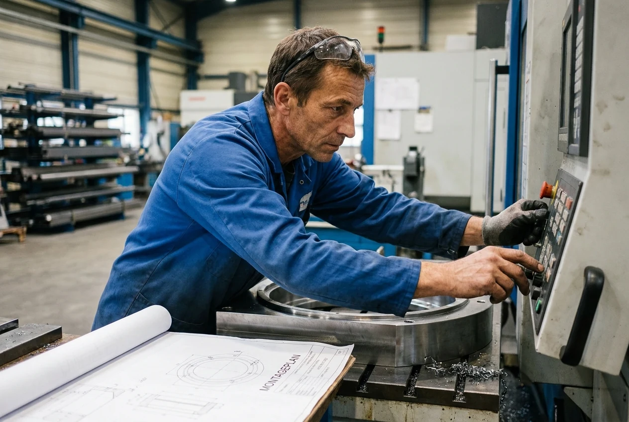
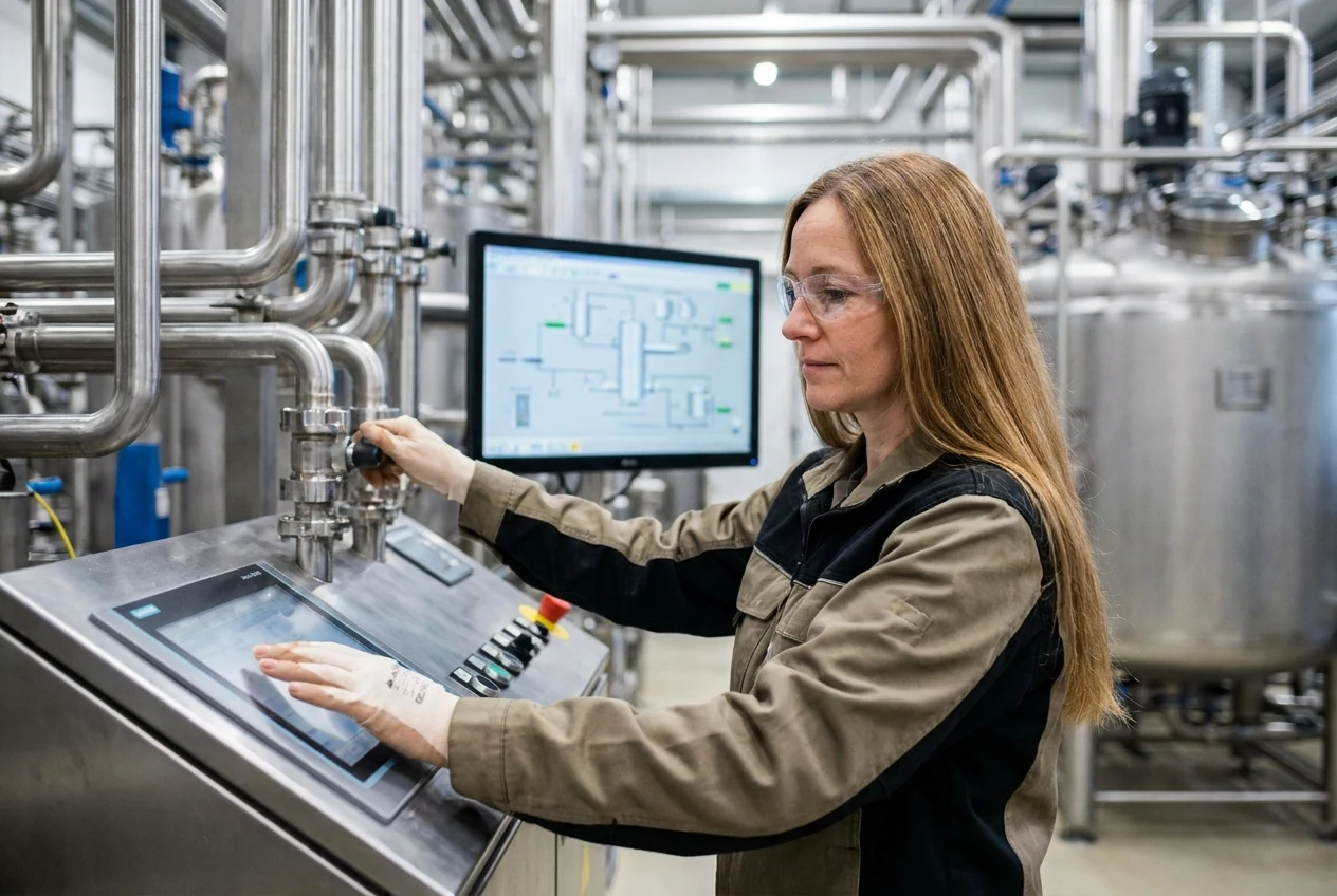
You alternate between working outdoors on construction sites or in the field, and working at computers in the office. Your workplaces include engineering firms, public administrations, construction companies, and municipal utilities.

Strengths

  • Spatial thinking
  • Careful working method
  • Technical affinity
  • Weather resistance

Trade-offs

  • Physical strain
  • Weather dependency
  • Data quality
  • Office work

06 · Similar

You might also explore

All in Planning & Engineering Design