Salary by experience
View as table
| Experience | Salary (CHF) |
|---|---|
| 0-2 yrs | CHF 54'000 |
| 3-5 yrs | CHF 72'800 |
| 6-8 yrs | CHF 72'200 |
| 9-11 yrs | CHF 71'500 |
| 12-21 yrs | CHF 78'000 |
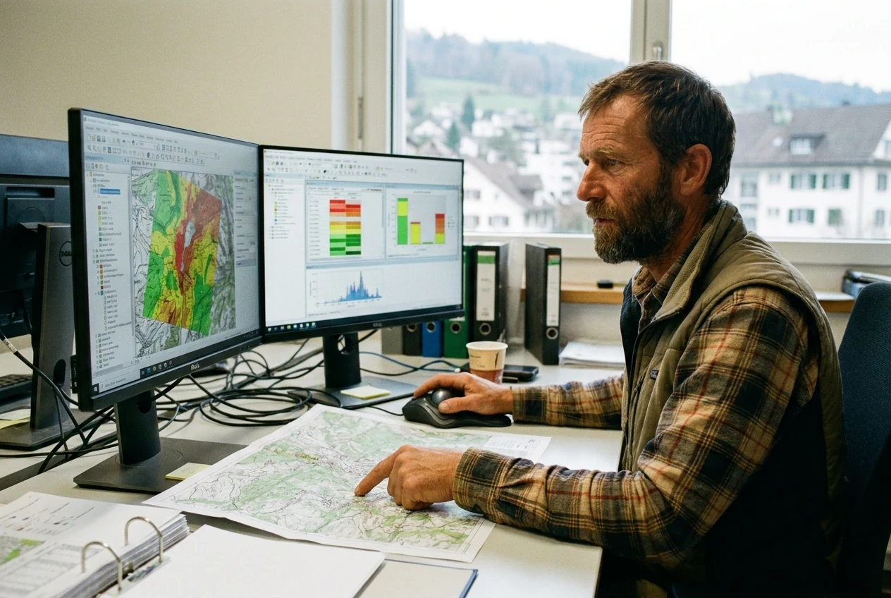
You analyse spatial data for modern planning processes.
01 · Overview
GIS-Spezialist/in uses Geographic Information Systems for data analysis and visualisation in planning and administration.
Spatial data drives modern decisions. As GIS-Spezialist/in, you turn complex geographical information into clear maps and analyses. Your expertise supports authorities and companies in planning, resource management, and conflict resolution. You combine technology with spatial thinking to develop sustainable solutions for our infrastructure and environment.
02 · Salary
| Experience | Salary (CHF) |
|---|---|
| 0-2 yrs | CHF 54'000 |
| 3-5 yrs | CHF 72'800 |
| 6-8 yrs | CHF 72'200 |
| 9-11 yrs | CHF 71'500 |
| 12-21 yrs | CHF 78'000 |
| Period | Salary (CHF) |
|---|---|
| 2017-2019 | CHF 63'100 |
| 2020-2022 | CHF 28'665 |
| 2023-2025 | CHF 78'000 |
| Industry | Salary | Obs. |
|---|---|---|
| Catering / Hotel | CHF 68'250 | 6 |
03 · Pathway
Swiss training pathway available in the full profile
Further training typically takes place via a Certificate of Advanced Studies (CAS) at a university of applied sciences.
GIS-Spezialist/in
Career changes are often possible through related degrees or relevant professional experience in spatial planning.
04 · Skills & fit
05 · Daily reality
You load current map data into the Geographic Information System and check several planning options for their spatial impact. You visualise conflicts directly on the screen to discuss them with colleagues.
You work in planning offices, authorities, or infrastructure companies. Your workplace is usually a modern office with specialised workstations.
06 · Similar